Guide to... Clarendon Road
Explore Clarendon Road by browsing these categories
Eating Nightlife Shopping Sightseeing Accommodation Living Life Working Travel & Transport Studying Health & WellnessPopular Nearby Streets & Areas: Notting Hill (0.18km) Kenley Walk (0.09km) Lansdowne Crescent (0.11km) Mary Place (0.17km) Portland Road (0.06km) Princedale Road (0.16km) Walmer Road (0.15km)


La Piccola Delicatessen

Page 1 of 1 (showing 5 listings from a total of 5)


Bill's (Mary Place)
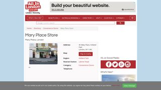
Mary Place Store, 45 Mary Place, London - Convenience Stores near Latimer Road Tube Station - All In London.Read more


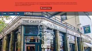
Castle Public House
Public HouseRead more
Holland Park Holland Park Avenue Kensington & Chelsea Nightlife Pubs

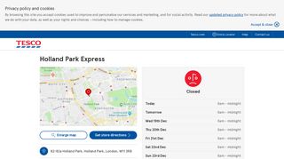
Tesco (Holland Park Avenue)
Holland Park Holland Park Avenue Kensington & Chelsea Food, Beverages & Tobacco Shops Supermarkets

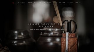
Flat Three Restaurant
Holland Park Holland Park Avenue Kensington & Chelsea Eating Restaurants

Giraffe World Kitchen
Ground Floor And MezzanineRead more
Mark Wilkinson Kitchens
Creatively inspired, individual and hand crafted with meticulous attention to quality and detail, all Mark Wilkinson...Read more

Map of Clarendon Road in London
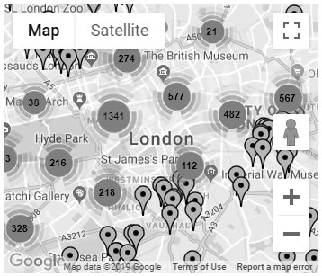
Click the map image above to load the
map for Clarendon Road in London
From Our Blog


Click here for more articles
about living a great life in London from our London blog
Blue Plaques in London


View All Blue Plaques in London
Clarendon Road in the News
There are currently no related news items to display. For more London news visit the London news part of our website.