Guide to... Transportation Museums on Cripplegate Street
Popular Nearby Streets & Areas: Aldersgate Street (0.14km) Beech Street (0.13km) Cripplegate (0km) Fore Street (0.17km) Grub Street (0.18km) London Wall (0.18km) Monkwell Square (0.04km) Oat Lane (0.15km) Silk Street (0.12km) Wood Street (0.15km)
No matching directory listings found.

London Transport MuseumTop Pick
Public transportation including the railway, underground, buses, memorabiliaRead more
Explore London Sightseeing Museums Tourist Attractions Transportation Museums Covent Garden

London Canal Museum
History of London's canalsRead more
Museums Tourist Attractions Sightseeing Transportation Museums

Royal Mews
The Queen's stables, features State vehicles including horse-drawn carriages and motor cars, and the Gold State CoachRead more
Museums Tourist Attractions Sightseeing Transportation Museums
Map of Transportation museums in Cripplegate Street
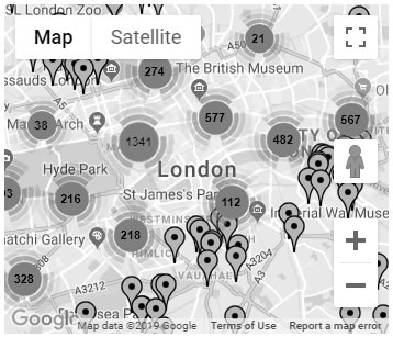
Click the map image above to load the
map for transportation museums in Cripplegate Street
Blue Plaques in London


View All Blue Plaques in London
Cripplegate Street in the News
Police hunting City rapist release images of man they ‘urgently’ need to find
https://uk.news.yahoo.com/police-hunting-city-rapist...
Published: Wed 19th Dec 2018 12:00 PM
For more news visit the
London news part of our website.