Guide to... Transportation Museums on Ixworth Place
Popular Nearby Streets & Areas: Britten Street (0.2km) Cale Street (0.1km) Chelsea Cloisters (0.09km) Denyer Street (0.18km) Draycott Avenue (0.16km) Elystan Street (0.04km) Michelin House (0.09km) Mossop Street (0.19km) Pelham Street (0.17km) Sloane Avenue (0.13km)
No matching directory listings found.

London Transport MuseumTop Pick
Public transportation including the railway, underground, buses, memorabiliaRead more
Explore London Sightseeing Museums Tourist Attractions Transportation Museums Covent Garden

Royal Mews
The Queen's stables, features State vehicles including horse-drawn carriages and motor cars, and the Gold State CoachRead more
Museums Tourist Attractions Sightseeing Transportation Museums
Map of Transportation museums in Ixworth Place
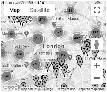
Click the map image above to load the
map for transportation museums in Ixworth Place
Blue Plaques in London


View All Blue Plaques in London
Ixworth Place in the News
There are currently no related news items to display. For more London news visit the London news part of our website.